
The short answer
Kerala is a state in the far south west of India, on the Arabian Sea coast, bordered by Karnataka to the north and Tamil Nadu to the east. Its main airports are Cochin (Kochi) and Thiruvananthapuram. Kerala is on India Standard Time, 5 hours 30 minutes ahead of GMT and 4 hours 30 minutes ahead of British Summer Time.
Where is Kerala on the map?
Kerala is a long, narrow strip about 580 kilometres from north to south. The Arabian Sea is to the west and the Western Ghats mountains to the east. Thiruvananthapuram is the capital; Kochi is the main commercial city and port.
What time is it in Kerala?
All of India uses India Standard Time (UTC+5:30), with no daylight saving. In the UK winter, Kerala is 5 hours 30 minutes ahead; in the UK summer, 4 hours 30 minutes ahead.
Kerala's airports
| Airport | Code | Good for |
|---|---|---|
| Cochin International | COK | Fort Kochi, hills, backwaters |
| Thiruvananthapuram | TRV | Kovalam, Varkala |
| Kozhikode (Calicut) | CCJ | Wayanad, north Kerala |
| Kannur | CNN | Theyyam country |
Local tipFly into Cochin and out of Thiruvananthapuram to avoid backtracking.
Kerala's regions in brief
Central Kerala
Kochi, the backwaters around Alleppey and Kumarakom, and the beach at Marari. Most first trips start here.
The Western Ghats
The hills along the eastern border: Munnar for tea, Thekkady for Periyar and spices. Cooler, greener and slower to drive through.
The south
Thiruvananthapuram, Kovalam and Varkala, close to the southern tip of India.
The north
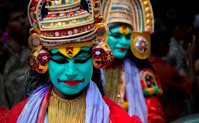
Kozhikode, Wayanad, Kannur and Kasaragod. Fewer visitors, plantation hills and the theyyam rituals.
Getting to Kerala from the UK
Most travellers from the UK fly into Cochin with one stop, usually through a Gulf hub. Total journey times are often between 12 and 15 hours, depending on the connection. Thiruvananthapuram and Kozhikode also have good Gulf connections. Routes change, so we check current options when we plan your trip.
If you are also visiting other parts of India, domestic flights link Kerala with Mumbai, Delhi, Bengaluru and Chennai, and trains run along the coast.
Getting around Kerala
Distances look short on the map, but roads are slow, especially in the hills. A private car and driver is the most comfortable way to travel and lets you stop where you like. Trains are useful along the coast, for example between Kochi and Varkala.
From our Cochin officeAllow about three to four hours for Kochi to Munnar and a similar time for Munnar to Thekkady. We plan routes so no day has more driving than you want.
Why it helps to have someone in Kerala
Our office in Cochin has been planning trips around the state for 20 years. Knowing the roads, the seasons and the best hotels in each region is what makes a route work. We also stay in touch while you travel.

Our Kerala expert
Based in Cochin
Our Kerala office has been planning trips from Cochin for 20 years. This guide reflects what we tell travellers who call us.
Ready to plan your Kerala trip?
Start planning your route.

Frequently asked questions
South India, on the south west coast.
4 hours 30 minutes ahead in British Summer Time and 5 hours 30 minutes ahead in winter.
Malayalam. English is widely spoken in tourism.
There are usually no direct flights, so with one stop expect roughly 12 to 15 hours in total, depending on the connection.
Goa is further up the same west coast. It is a short flight or a long train journey from Kochi.
Thiruvananthapuram, also known as Trivandrum.